Aerial Construction Data Specialists
With the use of aerial photography, construction businesses can manage their resources more effectively, come to informed decisions, monitor workflow and timetables, update stakeholders on the status of the project, and save money along the way.
Our Services
Site Surveys
Identify problems before they become costly mistakes
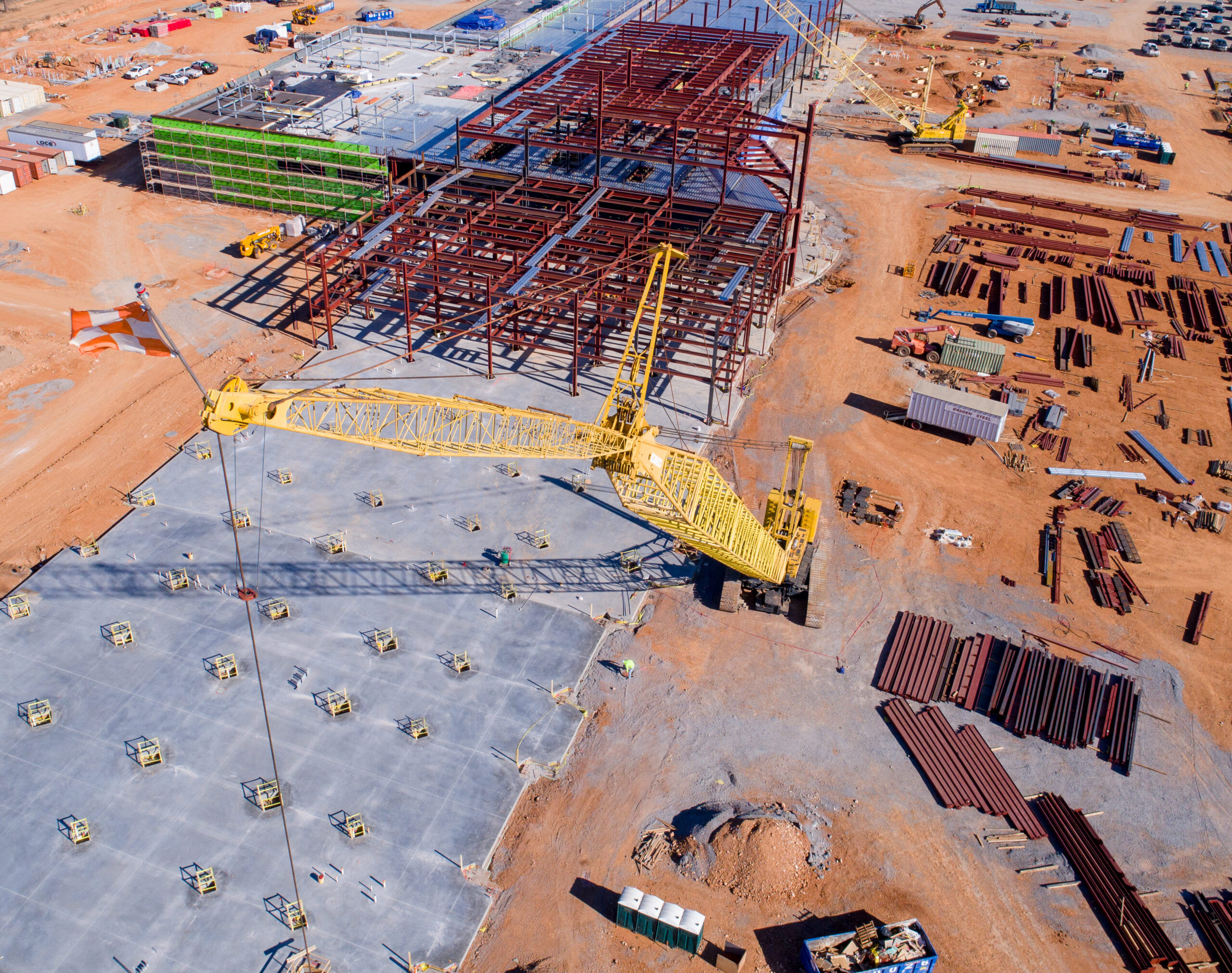
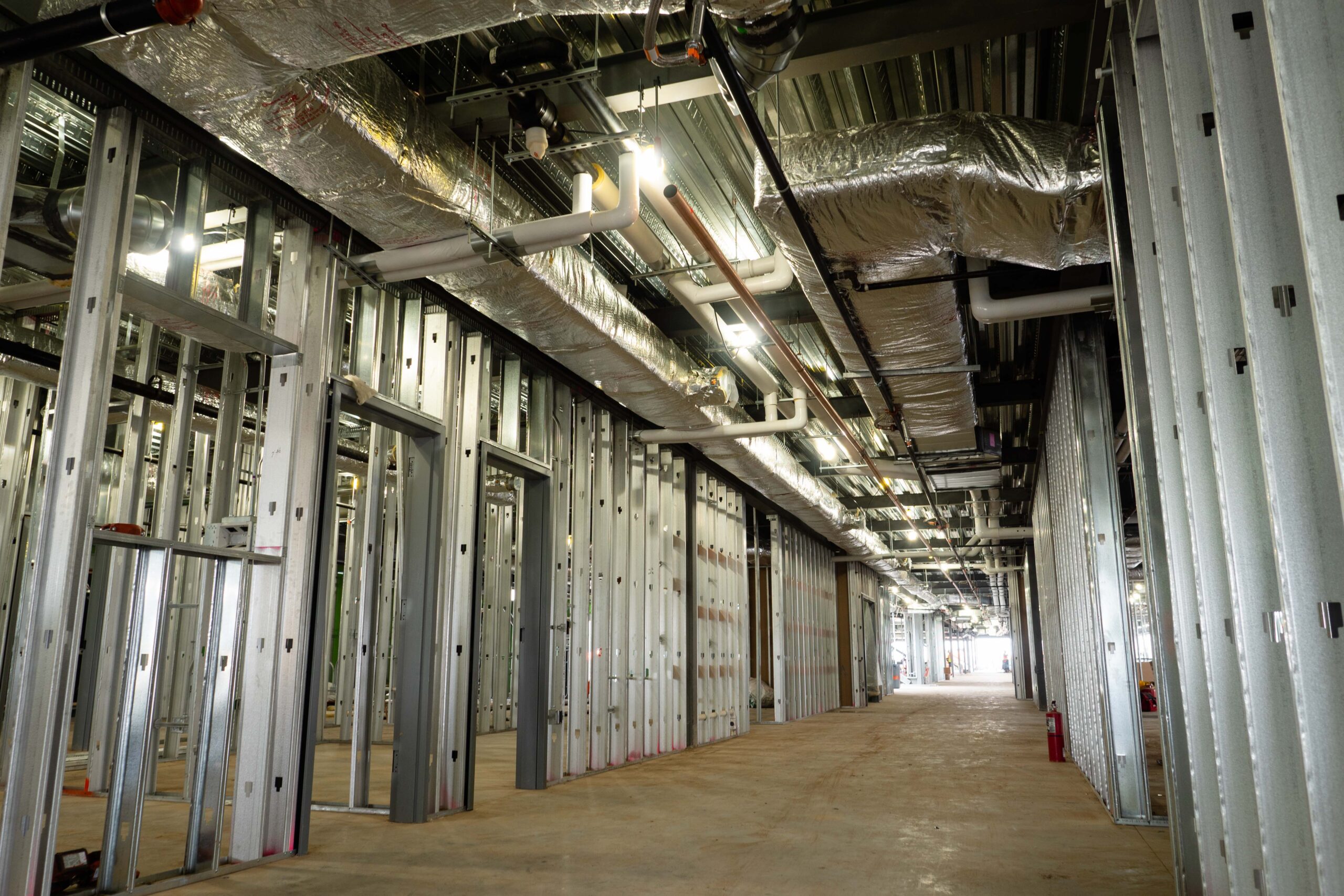
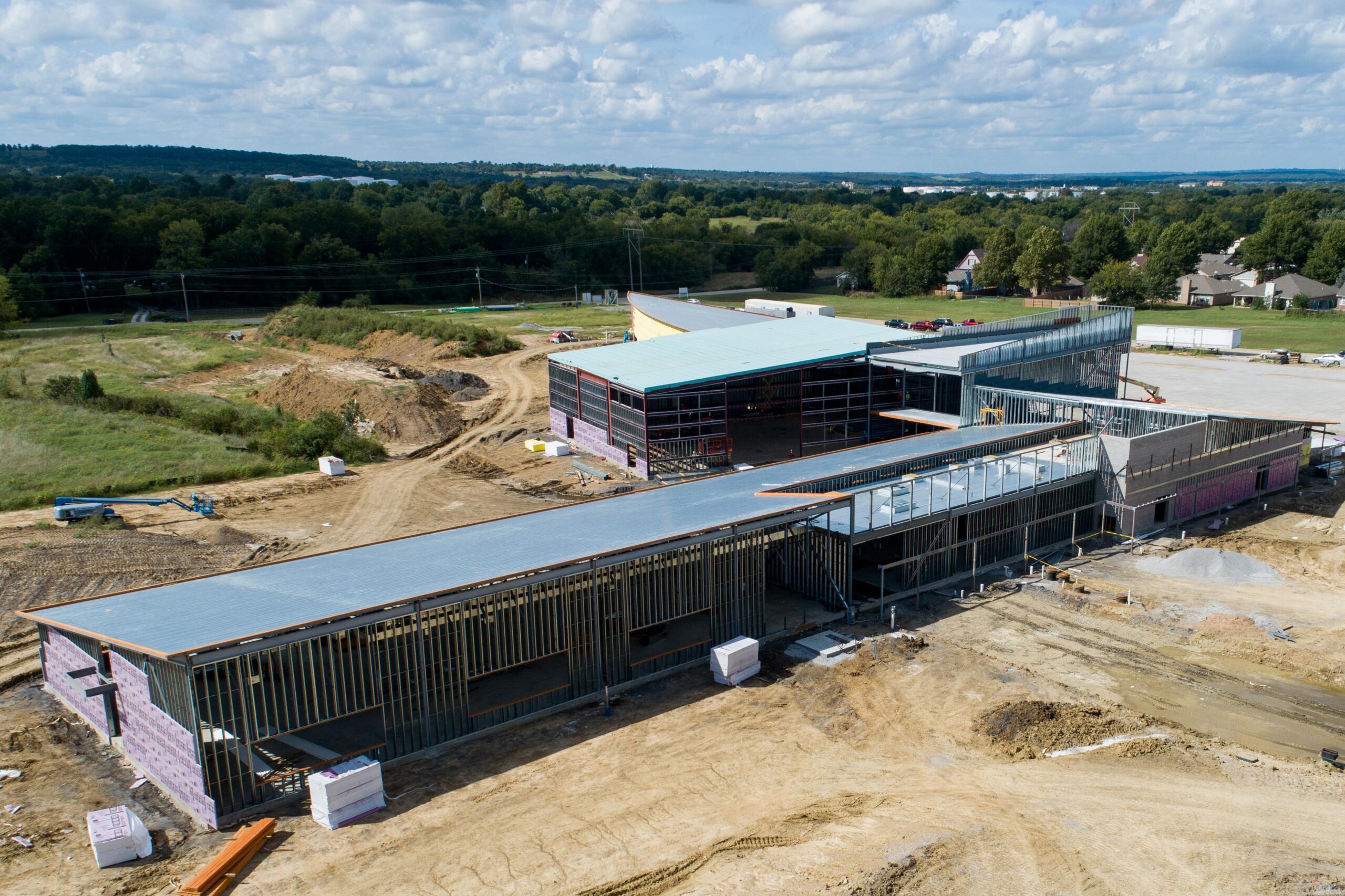
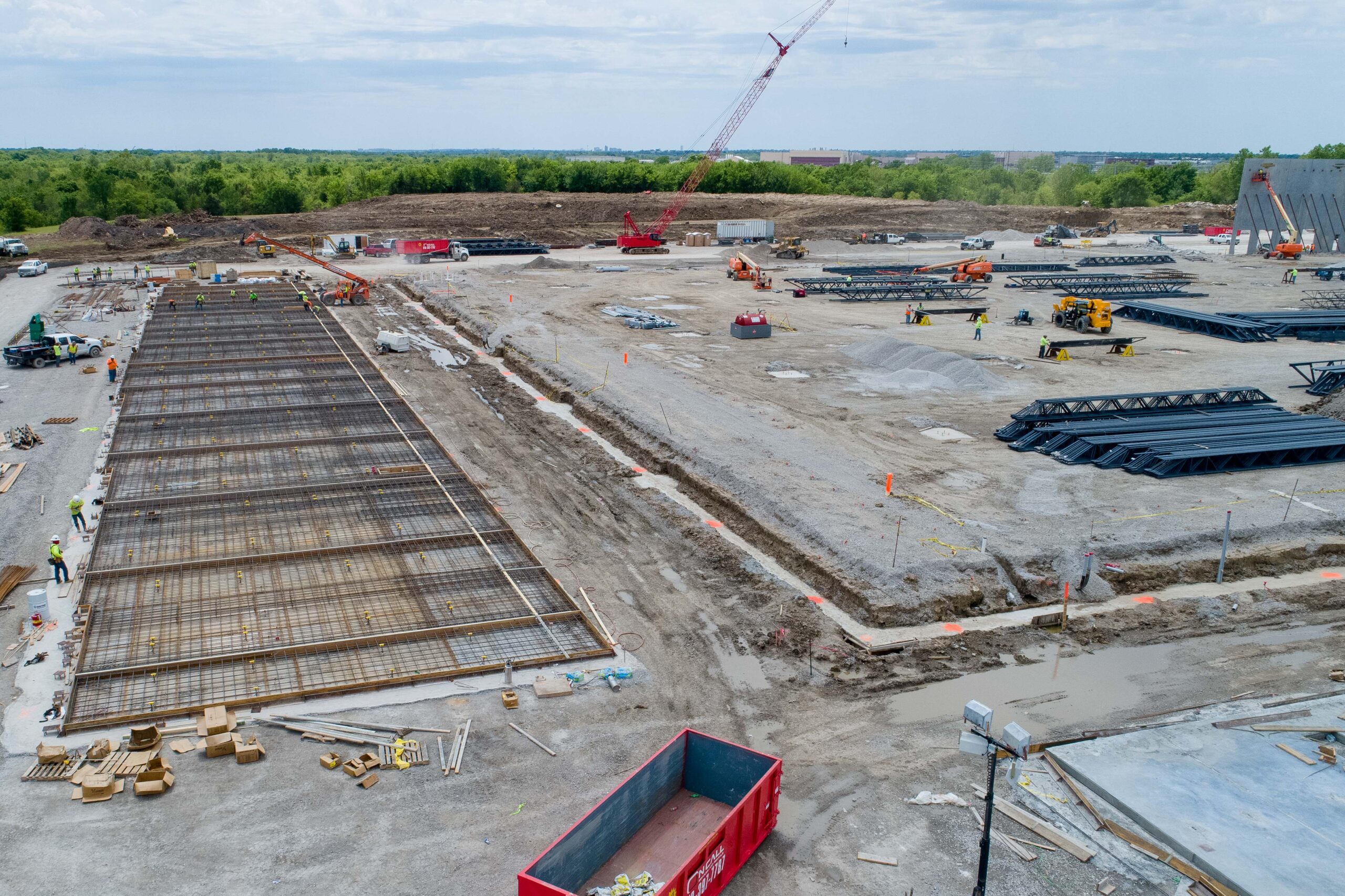
Progression Photos
Drone images increase ROI through development cycles
High-Resolution Mapping
Make your job sites safer with aerial data
Volumetric Measurements
More accurate cut and fill estimates
Marketing Content
Engaging content for new and existing clients
Get a Quote For Your Project
Providing Insights Helps Save Money
Multimillion-dollar projects rise and fall on the data provided through observations and regular analysis. Over the course of a project, surveys, consultations, inventory shortages, anomalies, and errors can all result in significant expenses. And without the data required to make timely decisions, your schedule may be severely damaged negatively impacting your bottom line.
Many of these issues are addressed by STR8-AERO Aerial Imaging, which aims to reduce building costs. Traditionally, each aerial photo has cost between $250 and $300. Volumetric measurements and surveying can cost thousands of dollars. Prior to the development of modern technology, 3D mapping was all but unknown. By using unmanned aerial systems, many of these services can be offered more frequently and for a far lower cost.
Years Established
Completed Projects
Latest Projects

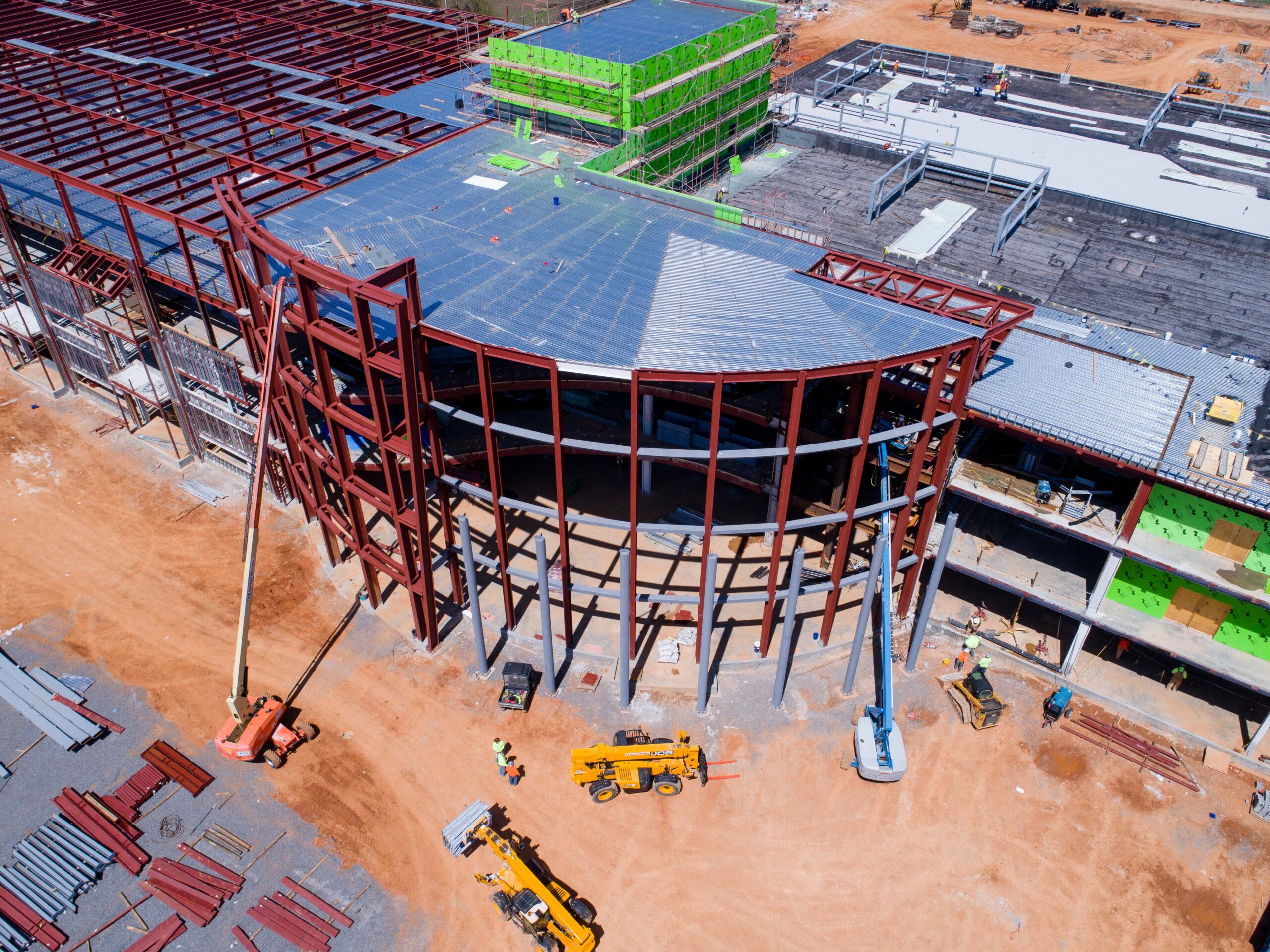
Warehouse Facility
Worked side by side with the general contractor to provide weekly progression photos of the building interior and exterior to maintain the project’s time line.

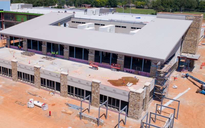
Regional Hospital
Captured aerial maps of 15 acre job site periodically throughout the build process to aid the project manager and keep stakeholders informed of improvements.

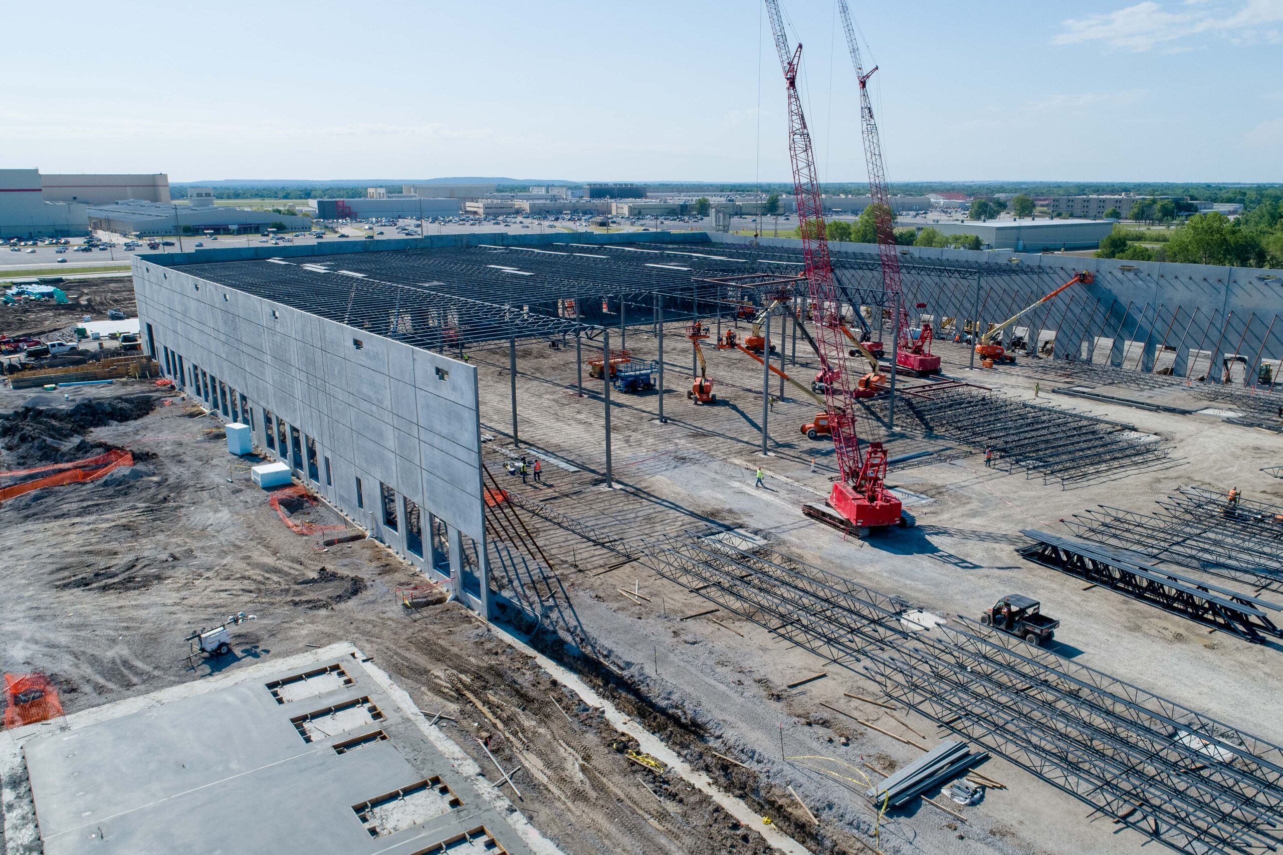
Manufacturing Plant
Provided Bi-weekly aerial photos of construction site before dirt worked started to aid the project manager with identify mistakes before they became costly to fix.
Aerial Data Increases Project Efficiency
The average commercial construction project exceeds its budget by up to 80% and takes 20% longer than expected to complete. Rework, poor quality control, and ineffective scheduling are major contributors to this. These costs can be reduced by thousands of dollars per day with an integrated drone program implemented across all phases of a project’s lifecycle, which greatly increases the return on investment.

Call For a Quote:
(918) 236-6962
Client Testimonials

“STR8-AERO has been wonderful to work with! They are responsive and professional. We would recommend using them for all of your aerial needs.”